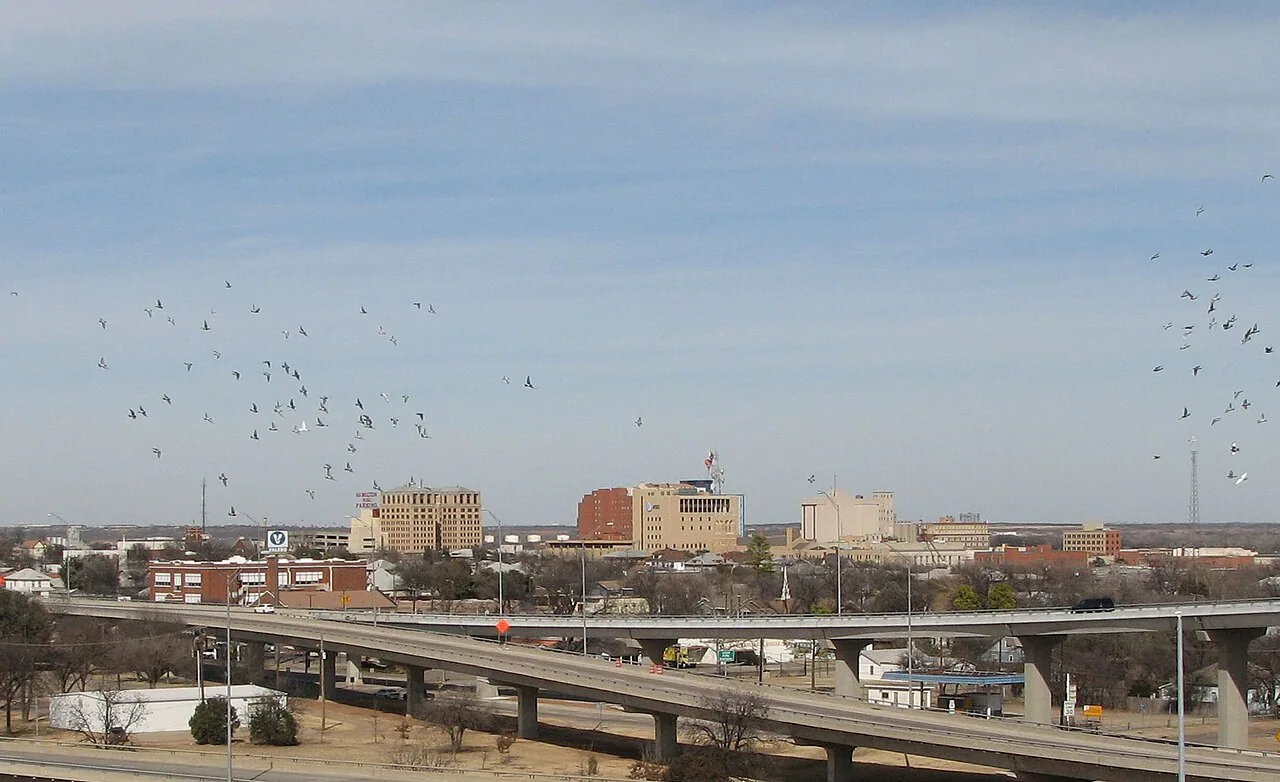
A roof that is too large, too steep or too fragile to walk can still be read from the air. A drone flies a set pattern above the surface, collects overlapping photographs, and gives a building owner a complete picture without a crew crossing every square foot of membrane. Commercial Roofing Wichita Falls uses drone roof inspection in Wichita Falls, TX as a first look on large roofs, a safe look on weak ones and a record for any roof that needs a dated before-and-after.
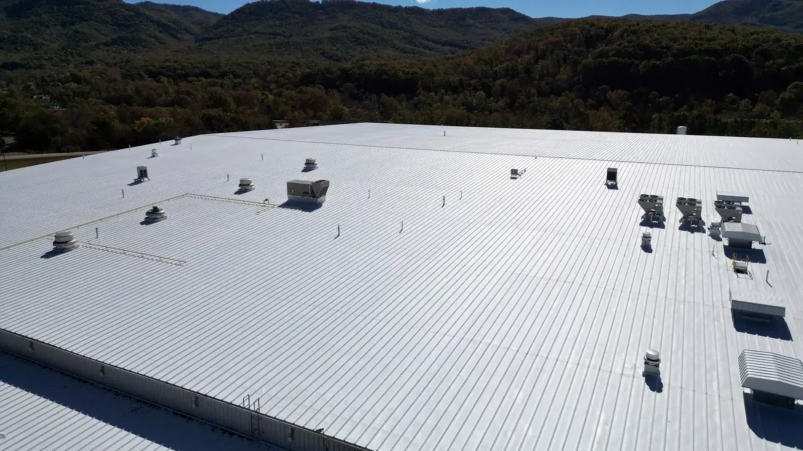
Think of the drone as a scout, not a replacement for a boot on the roof. It finds where to look. A person with a probe and a moisture meter then confirms what the images suggest.
What the Camera Sees
Overlapping high-resolution images show surface conditions from a height that no ladder gives: ponding lines, debris piles, displaced ballast, worn walk paths, open laps and torn edges. A zoomed image can show a cracked boot or a missing fastener cap. The same flight can map every rooftop unit, vent and skylight, which is useful for a roof plan or an equipment survey.
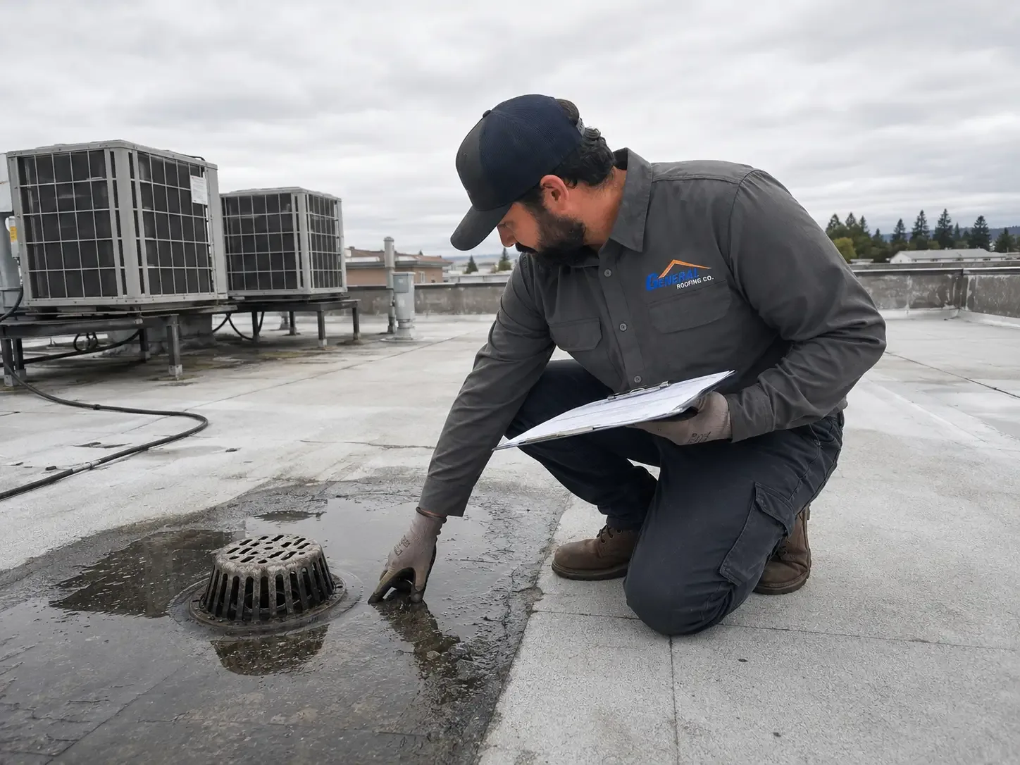
Color and pattern tell stories. Dark streaks mark where water drains slowly. Light patches mark where coating has worn away. Rust stains show metal that has begun to fail. We mark each finding on an annotated map, so the next visit starts at the right spot rather than at the roof hatch.
Flight planning decides image quality. We fly at a height and speed that give enough overlap for sharp detail, we pick a time of day when shadows do not hide defects, and we shoot straight-down images as well as oblique ones that show vertical details such as parapets, walls and equipment sides. A planned pattern also means the same roof can be flown again later and compared image to image.
Thermal Imaging by Air
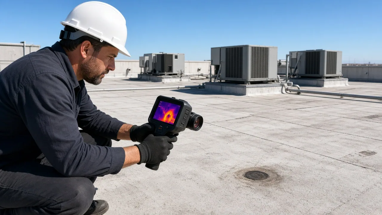
A thermal camera on the drone detects temperature differences across the roof. On a clear evening, wet insulation holds heat longer than dry insulation, and the contrast shows on screen as warm patches. This method covers large areas quickly. A warehouse near the Wichita Falls Business Park or a sprawling retail center can be scanned in a fraction of the time it takes on foot.
Thermal images give leads, not final answers. Shade, reflective surfaces, wind and recent rain can mislead the camera. For that reason we confirm suspected wet areas with a handheld meter or core cuts before we write a scope. The drone points; the probe proves. The same logic drives an infrared moisture survey done on foot.
Safety First
Walking a roof has risks: skylights hidden by dust, soft decks, steep slopes, slick coatings and edges without guardrails. A drone flight can show those hazards before anyone climbs up. If a deck looks sagged or a skylight looks damaged, we plan fall protection and walking routes ahead of time, or we avoid the area.
Drones also help after storms. When hail or a tornado has damaged a roof, the structure may be unsafe. A flight shows the damage pattern without putting a person on questionable material. The April 1979 tornado cut an 8-mile track through the south and east of Wichita Falls, and any severe event of that kind leaves roofs that need assessment before anyone can walk them.
Airspace and Permissions
Flight rules matter in this area. Wichita Falls Regional Airport sits about six miles north of the city and shares its runways with Sheppard Air Force Base, so the airspace around them is controlled. We check the airspace map before each flight, request FAA authorization where it is required and follow the limits it sets. A flight over a property that borders the airport or the base may need extra coordination.
Privacy and property lines matter too. We fly over the property we are hired to inspect and tell tenants and neighbors in advance when a flight might be noticed. Flights are paused in poor weather, high wind or low light, and we do not fly over people.
Records That Last
The images stay useful long after the flight. A dated library of photos, thermal maps and annotated findings supports roof condition reports, insurance claims, warranty questions and capital planning. When you compare images from year to year, small changes become visible: a ponding area that grows, a seam that opens, a coating that wears through.
Plan the flight date with the roof in mind. A survey done before a planned replacement gives bidders the same facts, and a survey done after the work records the finished roof as a baseline. A flight each spring puts the winter and the first storms into the record, and a second after the main hail season catches anything new.
For owners of several buildings, the same flight pattern across every roof gives a consistent set of data. That consistency makes it easier to rank roofs by condition and to set a repair or replacement order. It also gives your insurer, lender or buyer a clear and accurate picture of the asset.
Where Drone Work Fits
Drone inspection suits big flat roofs, standing seam metal that is slick underfoot, roofs with heavy equipment, and buildings with limited access. It fits a first assessment of a roof you are thinking about replacing, and it fits a quick check after hail. It also suits owners who want a baseline of their roofs before a sale or refinance.
It does not replace a full hands-on inspection when a leak is active or a warranty claim depends on detail. The two combine well: the flight plans the visit and the walk confirms it. Owners in north Wichita Falls and the Kemp and Kell corridor, where Kell Boulevard carries U.S. 82 and U.S. 277 across the city, can ask for either or both.
Drones have limits, and we say so. They cannot judge the feel of a soft deck, they cannot test a seam with a probe, and they cannot tell wet insulation from dry without a scan or a core. Used for what they do well, they save time and reduce risk. Used as the only tool on a failing roof, they leave questions that a person on the surface can answer in minutes.
Commercial Roofing Questions
Can a drone find leaks?
A drone can point to where a leak may be, such as ponding, open seams or damaged flashing. It cannot see through a membrane. We use the images to plan a follow-up test or a moisture scan at the likely spots.
Do you need to access my roof?
Not for the flight itself. We need permission to fly over the property and a contact for any gate or building access. A follow-up walk, if one is needed, requires roof access.
What do I receive afterward?
You receive annotated images, a map of findings and a short written summary. Thermal images, when used, come with notes on how reliable each reading is.
Does weather stop a flight?
High wind, rain and low light do. Thermal work also needs a clear, calm evening after a warm day. We reschedule rather than fly in conditions that weaken the data.
Is a drone survey enough for an insurance claim?
It helps by documenting the damage pattern. Most claims also need a ground-level inspection and a written scope, which we prepare when you ask for it.